Imagine a protected marine world where you can find more species of mangrove than in almost any other place in Southeast Asia. This isn’t a fantasy; it’s the reality of a special archipelago located about 90 kilometres off the coast of Central Java.
The area was declared a Strict Natural Reserve in 1986. Later, it became the Karimunjawa National Park. This park covers a massive 111,625 hectares of ocean and islands. Its rich biodiversity is simply astounding.
This destination offers a special kind of travel. Visitors can explore pristine coastal ecosystems. The experience combines adventure with a deep respect for nature. It’s a true model for sustainable conservation and responsible travel.
Key Takeaways
- The archipelago is a formally protected marine national park.
- It boasts an incredible variety of plant and marine life.
- The travel experience focuses on environmental education.
- It represents a successful blend of tourism and habitat preservation.
- Only five of the seventeen islands have permanent residents.
- The destination is both accessible and remarkably pristine.
Introduction to Mangrove Ecotourism in Karimunjawa
Responsible tourism practices that benefit both local populations and conservation efforts define the modern approach to exploring fragile ecosystems. This sustainable model creates meaningful connections between visitors and the natural world.
Understanding the Ecotourism Concept
Sustainable travel focuses on visiting natural areas while conserving the environment. It respects local cultures and provides economic benefits to nearby communities.
This approach differs from conventional tourism by emphasizing education and conservation participation. Visitors experience unique environments with minimal impact.
Ecotourism in Indonesia: Your Complete Guide to Sustainable Travel in 2026
Why Mangrove Habitats Matter
These coastal forests provide essential ecological services. They serve as nursery grounds for fish and protect coastal areas from erosion.
The forests play a crucial role in climate change mitigation. They sequester significant amounts of carbon while supporting local livelihoods through fisheries and tourism.
Their economic value to communities makes conservation through sustainable tourism particularly valuable. This approach ensures long-term protection of these vital ecosystems.
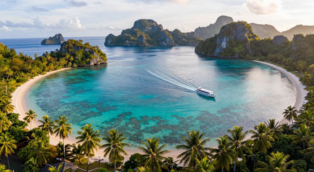
The Unique Appeal of the Karimunjawa Archipelago

The archipelago’s geographical composition creates a distinctive landscape unlike any other in the region. Seventeen islands form this remarkable cluster, each with unique physical characteristics.
Geographical Features and Island Diversity
This island group covers approximately 70 square kilometres of land area. Only five islands support permanent settlements, housing around 9,700 residents.
The largest island serves as the administrative and economic hub. It contains most visitor facilities and local services. Kemujan Island spans 15 square kilometres with 3,000 inhabitants.
A narrow river channel, just 2-3 metres wide, separates these two main islands. This natural division creates distinct ecological zones within close proximity.
| Island Name | Land Area (km²) | Population | Key Characteristics |
|---|---|---|---|
| Karimunjawa Island | Largest | Main population centre | Administrative hub with facilities |
| Kemujan Island | 15 | ~3,000 | Airport location, significant forests |
| Other Islands | Varied sizes | Minimal or none | Pristine natural environments |
The national park encompasses 111,625 hectares total area. Marine protection covers 110,117 hectares, safeguarding the region’s natural characteristics.
Overview of Mangrove Ecotourism Karimunjawa

Walking through Karimunjawa’s mangrove forests reveals a carefully balanced approach to conservation and tourism. The islands contain approximately 602 hectares of these coastal formations, with Kemujan Island hosting 232 hectares alone.
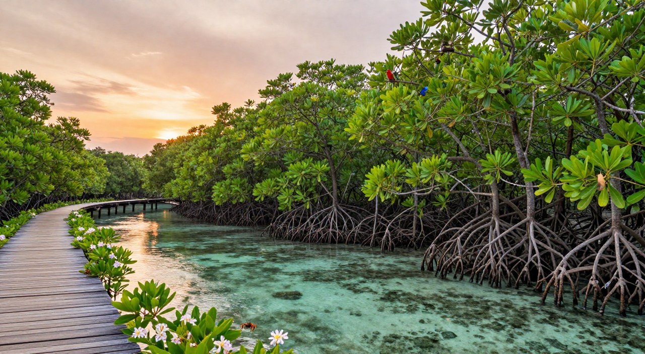
Just 2km from the main harbour, visitors can explore the 10.5 square kilometre Eco-Park. This area features raised wooden footpaths constructed from sustainably sourced materials. The design allows exploration without damaging the delicate ecosystem.
The forest boasts remarkable biodiversity with about 45 species across 25 families. Rare specimens like Scyphiphora hydrophyllacea (locally called Duduk) grow alongside dominant Excoecaria agallocha (Betah). This variety creates an exceptional learning environment.
Activities within this national park setting include:
- Guided forest walks with educational commentary
- Wildlife observation of black-tailed monkeys and endemic birds
- Photography from strategic watchtowers overlooking the expanse
The management has successfully created infrastructure that supports both visitor access and conservation priorities. This model protects the significant mangrove area while generating community benefits.
Biodiversity and Mangrove Forest Structures
Comparative analysis shows these island habitats outperform mainland counterparts in biodiversity. Field assessments document remarkable species variety across the archipelago.
Species Diversity and Ecological Roles
Research measured 339 trees on Kemujan Island, revealing 12 distinct species. Excoecaria agallocha dominates with an Importance Value Index exceeding 70%.
Different species perform specialized functions. Rhizophora stabilizes sediments with prop roots. Avicennia oxygenates soils through pneumatophores.
“The structural complexity supports greater ecological richness than typical mainland forests.”
Comparison with Mainland Mangroves
Island forests typically have lower diversity due to limited habitat. However, these locations defy this pattern with exceptional species counts.
| Location | Species Count | Dominant Species | Forest Area |
|---|---|---|---|
| Kemujan Island | 12 species | Excoecaria agallocha | 232 hectares |
| Pasarbanggi, Rembang | 5 species | Various | Smaller areas |
| Teluk Pangpang, Banyuwangi | 7 species | Mixed composition | Limited extent |
The protected status and varied coastal features create ideal conditions. This supports complex species assemblages rarely found elsewhere.
Case Studies and Data Analysis

Rigorous data collection methods reveal fascinating patterns in forest structure across island ecosystems. This case study compares findings from two distinct locations using standardized scientific approaches.
Insights from Field Assessments
Researchers employed non-destructive sampling techniques during different seasons. The study used 100-metre line transects with 10×10 metre quadrats at seven stations per location.
This systematic data collection approach ensured accurate measurements without harming the environment. All trees with diameters over 2.5 cm were identified and measured at breast height.
The assessment revealed significant structural differences between locations. Kemujan Island showed larger tree diameters but lower density compared to Desa Daun.
Importance Value Index and Biomass Findings
Detailed analysis demonstrated distinct species dominance patterns. Excoecaria agallocha dominated Kemujan Island with an Importance Value Index exceeding 70%.
Biomass data showed Kemujan contained significantly higher carbon storage capacity. Rhizophora apiculata contributed the highest biomass at both study sites despite different forest structures.
This comprehensive case study provides valuable insights for conservation planning. The findings support informed management decisions for protected coastal habitats.
Conservation and Carbon Sequestration Benefits

Beyond their visible ecological functions, these coastal habitats play a critical role in climate mitigation through substantial carbon storage capabilities. This natural service adds significant value to conservation efforts in protected marine areas.
Mangrove Carbon Storage and Climate Mitigation
Globally, mangrove ecosystems account for 14% of carbon sequestration by ocean environments. These forests cover approximately 147,000 square kilometres worldwide, an area comparable to Bangladesh’s total landmass.
Indonesia hosts about 22% of this global total, positioning the nation as a key player in coastal carbon storage. The conservation of these areas contributes directly to climate change mitigation objectives.
Research reveals impressive storage capacities in specific locations. Kemujan Island’s vegetation contained 131.95 megagrams of carbon per hectare, while Desa Daun stored 50.98 megagrams per hectare.
Rhizophora apiculata demonstrated the highest carbon storage capacity across both study sites. This species’ extensive root systems and substantial biomass make it particularly effective at sequestering atmospheric carbon.
The protection of these ecosystems prevents the release of stored carbon that would occur through deforestation. This conservation role makes habitat preservation both environmentally and economically valuable for long-term sustainability.
Economic and Community Benefits of Ecotourism

Community-led initiatives demonstrate how environmental protection can generate sustainable livelihoods across the archipelago. The 9,700 residents benefit directly from conservation-focused tourism approaches.
Local Livelihoods and Community Engagement
Residents participate in various income-generating activities. These include guided tours, homestay accommodations, and handicraft sales.
The Eco-Park’s strategic location just 2km from the main harbour ensures easy access for visitors. Local groups manage these areas with conservation objectives.
This approach creates diverse employment opportunities. It reduces dependence on extractive resource use.
Economic Impact of Mangrove Conservation
Preserving coastal forests generates greater long-term value than alternative land uses. Tourism revenue supports local economies while protecting ecosystems.
The table below compares economic benefits from different approaches:
| Land Use Approach | Short-term Gain | Long-term Value | Community Impact |
|---|---|---|---|
| Conservation Tourism | Moderate | High & Sustainable | Widespread benefits |
| Aquaculture Conversion | High | Declining | Limited distribution |
| Timber Extraction | High | None (destructive) | Minimal local benefits |
Effective management ensures equitable benefit distribution. This fosters community support for conservation efforts.
Exploring Karimunjawa National Park

With its designation as a Strict Natural Reserve in 1986, this archipelago began its journey toward formal protection. The Karimunjawa National Park was officially established in 1999, covering a massive 111,625 hectares. This significant area represents one of Indonesia’s six premier marine protected zones.
In 2001, further recognition came when 110,117 hectares received Marine Protection Area status. This progressive approach to conservation demonstrates the region’s importance for Southeast Asian marine biodiversity.
Park Management and Conservation Initiatives
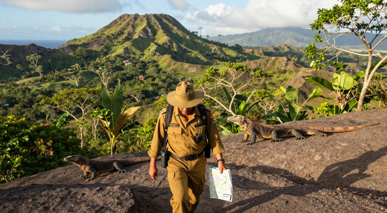
The management of this protected zone operates under the Ministry of Environment and Forestry. Karimunjawa National Park Hall (BTNKJ) implements strategic zoning regulations.
“Effective park management requires balancing ecological protection with sustainable visitor access.”
Key conservation programs include habitat restoration and species monitoring. Anti-poaching patrols and community education engage local residents in stewardship activities.
| Zone Type | Purpose | Access Level |
|---|---|---|
| Core Conservation | Habitat protection | Restricted |
| Limited Use | Research activities | Controlled |
| Sustainable Tourism | Visitor experiences | Open with guidelines |
The park’s infrastructure supports both protection and education. Watchtowers and designated snorkeling areas allow controlled exploration while maintaining ecological integrity.
Mangrove Ecosystem Research and Data Collection

Understanding complex forest structures demands systematic approaches that gather comprehensive data without environmental harm. This research methodology ensures accurate assessment of coastal ecosystems while preserving their natural state.
Non-Destructive Sampling Techniques
The study employed innovative sampling methods that avoided tree removal. Researchers used 100-metre line transects with strategically placed quadrats.
This approach allowed detailed measurement of tree diameters and species identification. Special techniques accommodated different growth patterns, ensuring precise data collection.
Analysis of Field Data from Daun and Kemujan
Statistical analysis revealed distinct forest characteristics between locations. Kemujan Island showed larger average tree diameters but lower density compared to Desa Daun.
The comprehensive data enabled calculation of ecological parameters like biomass and carbon storage. This information supports informed conservation planning for protected coastal habitats.
Seasonal timing considerations affected research outcomes, with optimal conditions occurring during transitional periods between wet and dry seasons.
Field Study Insights from Karimunjawa Islands
Scientific surveys conducted in protected marine zones uncovered remarkable differences in vegetation structure between island locations. The field research compared two distinct coastal environments to understand how local conditions influence ecological development.
Observations from Kemujan Island
The Kemujan Island study documented twelve distinct species across its 232-hectare coastal forest. Four species showed equal frequency distribution at 12.94%, but Excoecaria agallocha dominated with an Importance Value Index exceeding 70%.
This location displayed a mature forest structure with larger average tree diameters. The vegetation composition suggested advanced successional stages compared to other areas.
Findings from Desa Daun Mangrove Forest
Desa Daun’s research revealed thirteen species across its 108-hectare area. Nypa fruticans showed the highest relative density at 35.59%, thriving in perpetually submerged estuarine zones.
Rhizophora apiculata demonstrated the highest relative dominance at 28.95%. Both species achieved the highest IVI values, indicating their ecological significance in this environment.
The comparative analysis highlights how environmental factors shape species composition. These island forests support greater diversity than mainland locations, underscoring their conservation value.
Coastal Protection and Ecosystem Services
Natural coastal barriers provide essential services that maintain the delicate balance between land and sea environments. These vital ecosystem features act as nature’s first line of defense for vulnerable coastal areas.
The protective role of these forests operates through multiple mechanisms. Dense root systems anchor sediments, preventing erosion from wave action. Above-ground vegetation absorbs wind and wave energy, reducing storm surge impacts on inhabited areas.
Beyond physical protection, these mangrove ecosystems perform critical environmental functions. They regulate nutrient cycling, maintain water quality, and serve as nursery grounds for marine species. The complex root structures provide shelter and food resources.
The table below quantifies key protective services provided by these coastal forests:
| Protective Service | Mechanism | Impact Level |
|---|---|---|
| Erosion Control | Root stabilization | High protection |
| Storm Buffer | Wave energy absorption | Significant reduction |
| Tsunami Defense | Vegetation barrier | Moderate mitigation |
| Fisheries Support | Nursery habitat | Essential foundation |
Local fisheries depend heavily on these nursery functions. Juvenile fish find protection among the root systems before migrating to open waters. This demonstrates the interconnected role of coastal vegetation in supporting marine productivity.
The benefits extend beyond immediate coastal areas to regional communities. Maintaining these ecosystem functions ensures long-term stability for both island and mainland populations facing climate challenges.
Visitor Experience and Adventure Activities
Adventure seekers will find themselves immersed in a world where elevated walkways guide them through lush coastal vegetation. The national park offers diverse experiences that blend education with excitement.
Eco-Park Trails and Mangrove Walks
Just 2km from the main harbour, visitors explore a 10.5 square kilometre forest area. Raised wooden footpaths wind through the vegetation, constructed from sustainable materials.
These trails showcase remarkable biodiversity with 45 species across 25 families. Visitors encounter black-tailed monkeys and various bird species. Midway through, a gazebo and watchtower provide panoramic views.
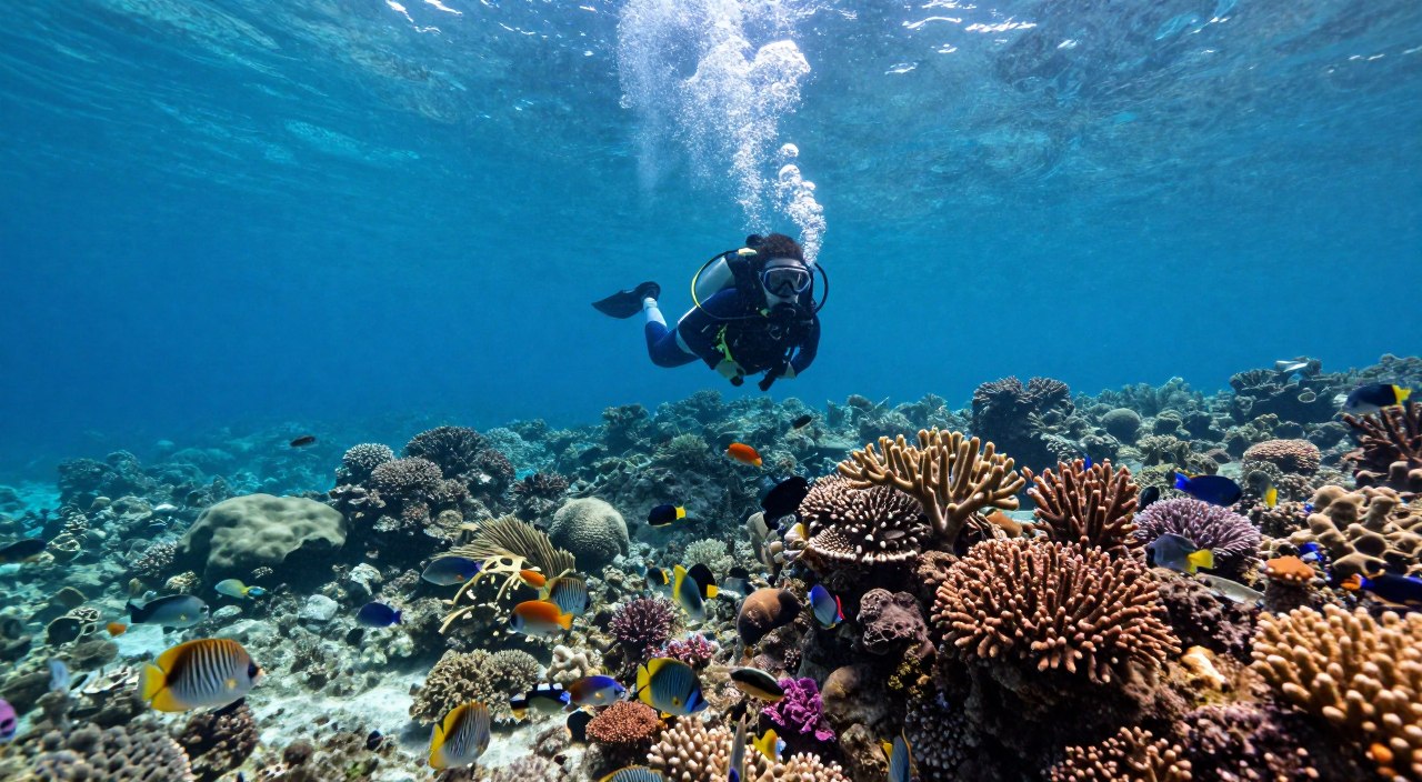
Water Activities and Snorkelling Spots
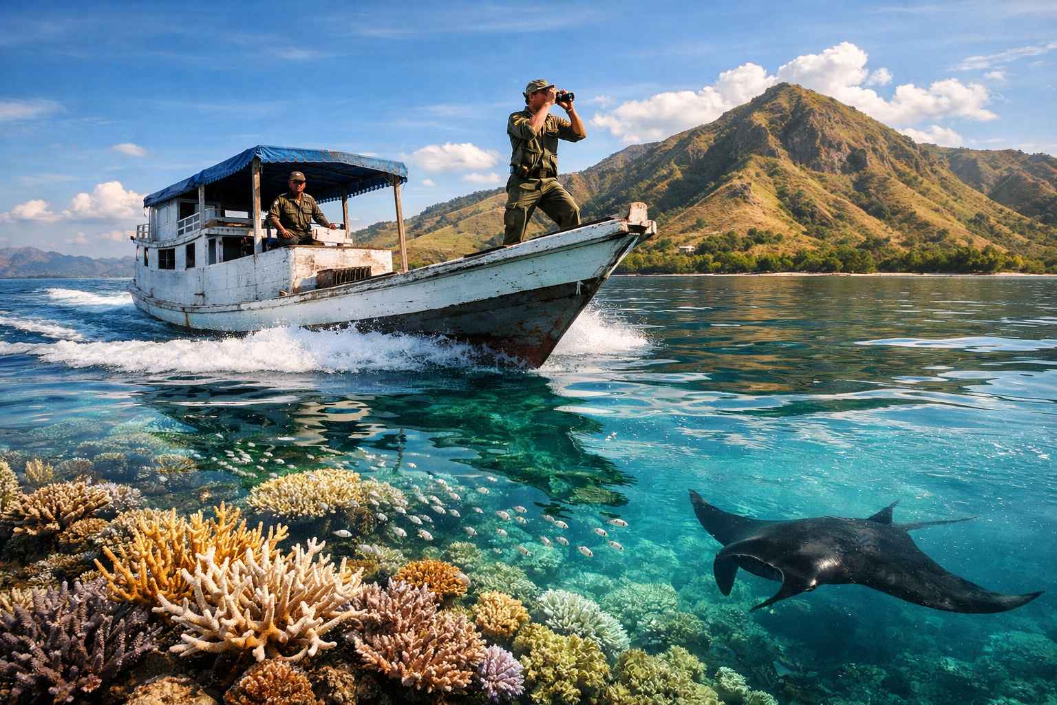
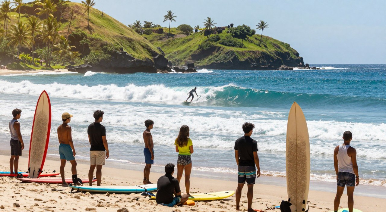
Crystal-clear waters reveal vibrant marine life at several island locations. Popular spots include Gosong, Menjangan Kecil, and Tengah islands.
At Menjangan Besar, a controlled shark pool offers supervised swimming experiences. Tanjung Gelam beach presents spectacular sunset views perfect for photography.
Practical tips ensure optimal enjoyment:
- Bring water for hydration during walks
- Ensure camera equipment is ready for opportunities
- Time snorkeling for best visibility conditions
Travel Guide: Getting to Karimunjawa
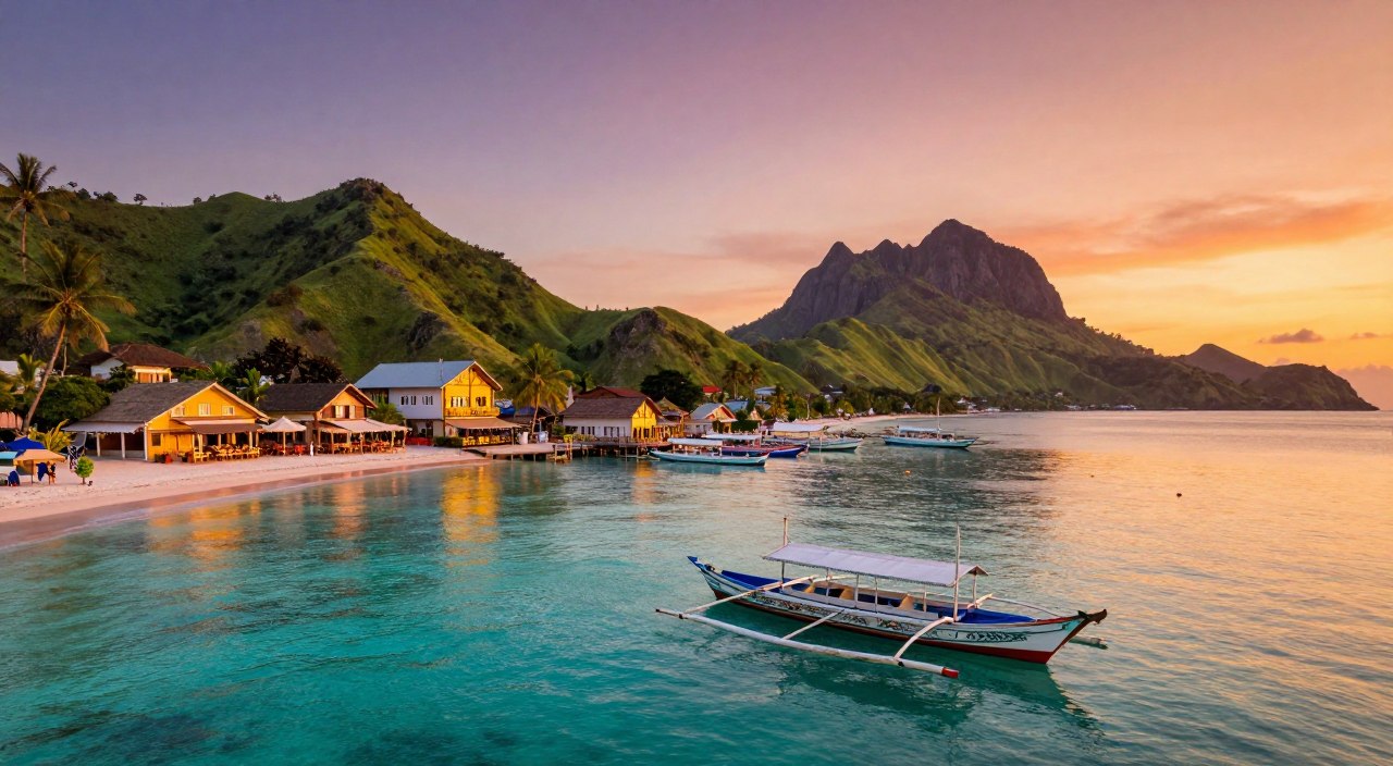
Australian travellers seeking to explore this protected marine zone will find multiple access routes connecting through key Indonesian cities. The archipelago sits approximately 90km northwest of Jepara Regency in Central Java Province.
Transport Options from Australian Destinations
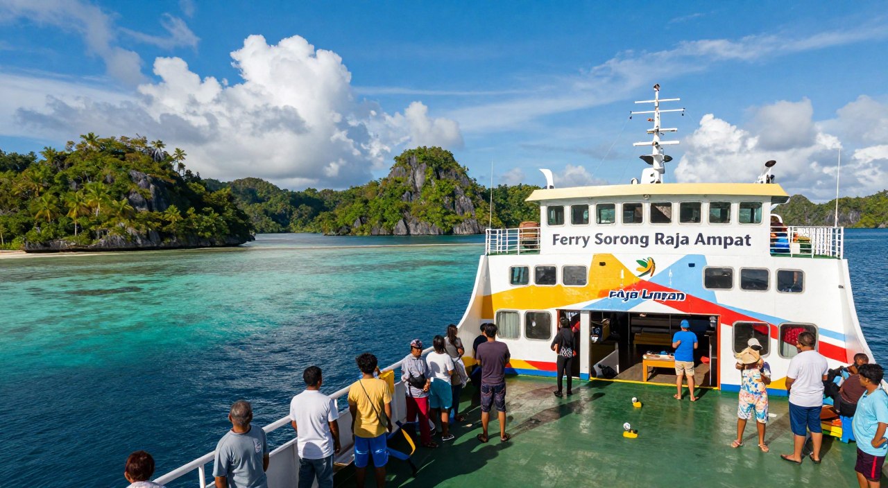
Most visitors fly to Jakarta, Surabaya, or Bali first. From there, domestic flights connect to Semarang (Central Java‘s capital) or Surabaya. Susi Air operates twice-weekly flights to Dewandaru Airport on Thursday and Friday.
Flight durations are short: 30 minutes from Semarang and 40 minutes from Surabaya. Ferry services from Jepara harbour offer more frequent schedules. The Siginjai Ferry takes about 4 hours, while the faster Bahari Express completes the journey in 2 hours.
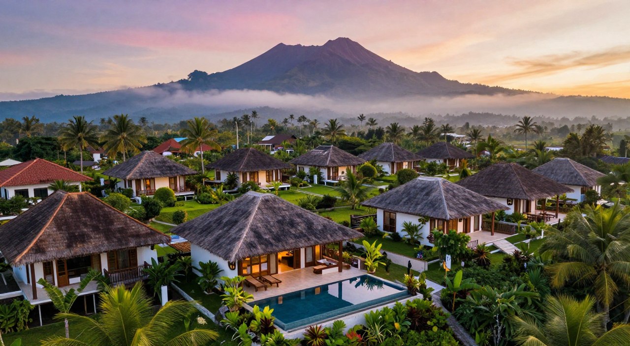
Accommodation and Local Tips
Lodging options range from budget homestays to small resorts. Most facilities concentrate on the main island near the harbour area. This national park destination requires some practical planning.
Essential tips for Australian visitors:
- Bring reef-safe sunscreen to protect coral ecosystems
- Carry sufficient Indonesian Rupiah cash (limited ATMs)
- Book accommodation in advance during peak seasons
- Allow flexibility for weather-related transport delays
A minimum 3-4 day stay is recommended to fully experience the karimunjawa national park’s attractions without feeling rushed. Coordinate ferry schedules with your accommodation bookings for a smooth journey.
Integrating Research and Ecotourism Models
The synergy between field studies and recreational activities creates a powerful conservation framework. This integrated model allows scientific research to inform tourism operations while visitor experiences support ongoing assessment.
Innovative Approaches in Mangrove Management
Non-destructive sampling approaches enable continuous monitoring without harming delicate coastal ecosystems. Researchers gather vital data while visitors explore designated trails. This dual-use management strategy maximizes both conservation and educational value.
Technological integration enhances the assessment process. Satellite imagery and vegetation indices complement ground surveys. This comprehensive approach provides accurate data for effective management decisions.
Community involvement strengthens the conservation model. Local groups participate in data collection and adaptive management. This creates genuine stewardship where residents become active conservation partners.
| Integrated Benefit | Research Contribution | Tourism Support |
|---|---|---|
| Continuous Monitoring | Non-destructive data collection | Visitor access funding |
| Technology Integration | Remote sensing analysis | Educational infrastructure |
| Community Engagement | Local knowledge incorporation | Sustainable livelihoods |
| Scalable Framework | Standardized protocols | Replicable operations |
The combined research and tourism model demonstrates exceptional scalability. Successful methods from this protected area can be adapted to other sensitive coastal regions worldwide.
Future Perspectives in Mangrove Research
Future research initiatives will leverage cutting-edge tools to uncover hidden aspects of coastal ecology. Scientific exploration is entering an exciting phase with new methodologies.
Upcoming Studies and Technological Advances
Long-term monitoring programmes represent a critical research priority. These studies will track forest structural changes across decades.
Technological innovations will transform data collection methods. Drone-based LiDAR systems can map three-dimensional forest structures with unprecedented detail.
Automated sensor networks will measure environmental conditions at multiple canopy levels. This approach provides comprehensive assessment capabilities.
Comparative analysis across Java Sea islands offers valuable insights. Researchers can examine how different geomorphological characteristics influence ecosystem development.
Future studies will address significant knowledge gaps. Below-ground carbon storage in root systems requires detailed assessment.
Integrated research models combine field measurements with satellite imagery. This framework enables more complete understanding than single-method approaches.
Applied questions will guide future investigations. Scientists will determine optimal restoration techniques for degraded areas.
Conclusion
Australia’s proximity to Indonesia’s premier marine protected areas offers unique opportunities for meaningful environmental engagement. The Karimunjawa National Park represents an outstanding example of successful conservation that benefits both natural ecosystems and local communities.
This remarkable destination showcases exceptional biological diversity with 44 species across its coastal forests. The significant carbon storage capacity demonstrates the vital role these habitats play in climate mitigation. Visitors directly support ongoing protection efforts while experiencing unparalleled natural beauty.
The integration of scientific research with sustainable tourism creates a powerful model for coastal management. Australian travellers can contribute to this success story while enjoying world-class adventure in Central Java‘s protected marine zone.